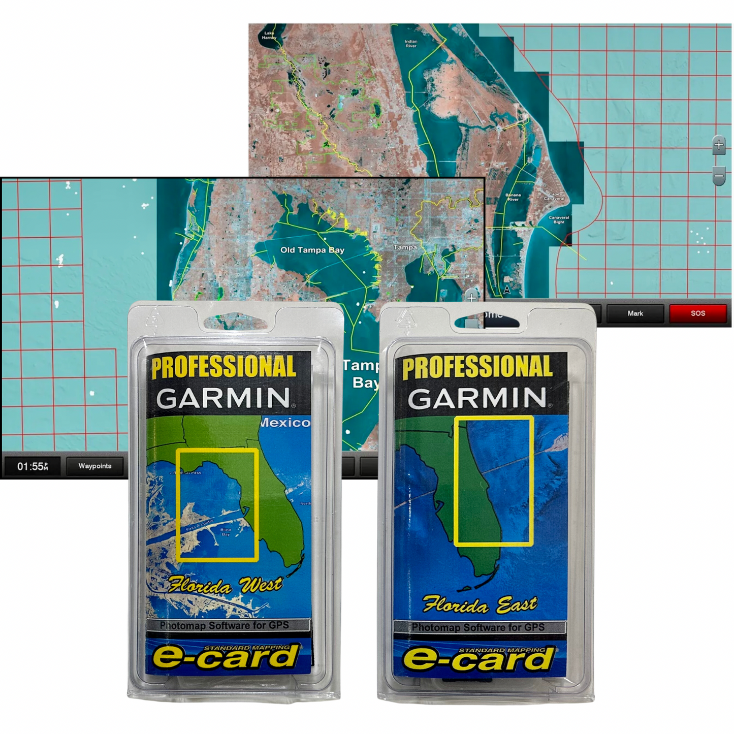
Statewide coastal aerial overlay provides high-resolution imagery, local names of waterways and land features, outlined Wildlife Management Areas and Offshore Lease Areas plus added value from Standard Mapping's pro staff
SD MicroSD Card

Statewide coastal aerial overlay provides high-resolution imagery, local names of waterways and land features, outlined Wildlife Management Areas and Offshore Lease Areas plus added value from Standard Mapping's pro staff
SD MicroSD Card